


Sale!


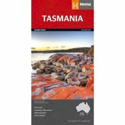


Hema Tasmania Handy Map
Original price was: $9.95.$6.97Current price is: $6.97.
- The Quality Choice for Smart Shoppers
- 7 days free returns
- Fast reliable delivery options
- Free Shipping, No Compromise on Quality

Description
A compact map of Tasmania (TAS) for touring throughout the state with a distance grid and index for planning and reference. Marked on the mapping are highways, major and minor roads, camping and rest areas, 24-hour fuel, information centres, picnic areas, caravan parks and lookouts.
Specifications
| Best Scale | 1:480000 |
|---|---|
| Cover Size Depth | 3mm |
| Cover Size Height | 250mm |
| Cover Size Width | 127mm |
| Edition Number | 10 |
| Format | Folded Map |
| Publication Date | 15/01/2015 |
| Unfolded Size Height | 500mm |
| Unfolded Size Width | 875mm |
Be the first to review “Hema Tasmania Handy Map”
Related products
Sale!


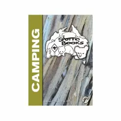
Assorted Books
Original price was: $39.95.$27.97Current price is: $27.97.
Sale!

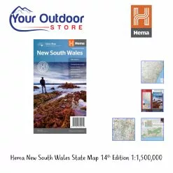
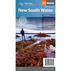
Original price was: $50.00.$35.00Current price is: $35.00.
Sale!


Assorted Books
Original price was: $42.95.$30.07Current price is: $30.07.
Sale!
Original price was: $16.25.$11.38Current price is: $11.38.
Sale!
Books & Maps
Original price was: $14.95.$10.47Current price is: $10.47.
Sale!
Original price was: $16.25.$11.38Current price is: $11.38.
Sale!

Assorted Books
Original price was: $16.00.$11.20Current price is: $11.20.
Sale!
Books & Maps
Original price was: $14.95.$10.47Current price is: $10.47.
Reviews
There are no reviews yet.